

St. Martin`s Island
- Womenscorner Desk
- June 17, 2020
St. Martin's Island is a small island in the northeastern part of the Bay of Bengal, about 9 km south of the tip of the Cox's Bazar-Teknaf peninsula, and forming the southernmost part of Bangladesh. There is a small adjoining island that is separated at high tide, called Chera Dwip. It is about 8 kilometres west of the northwest coast of Myanmar, at the mouth of the Naf River.
The first settlement started 250 years ago by Arabian sailors who named the island 'Jazeera'. During British occupation the island was named after the then Deputy Commissioner of Chittagong Mr. Martin as St. Martin Island. The local names of the island are "Narikel jinjira" which means 'Coconut Island', and "Daruchini Dwip" which means "Cinnamon island". It is the only coral island in Bangladesh.
Non-residential Bangladeshis and foreigners were the only people permitted on the island; however, this has changed and now residential Bangladeshis are allowed. St. Martin's Island has become a tourist spot, and five shipping liners run daily trips to the island. Tourists can book their trip either
from Chittagong or from Cox's Bazar. The surrounding coral reef has an extension named Chera Dwip. A small bush is there, which is the only green part. People do not live on this part, so it is advisable for the tourists to go there early and come back by afternoon.
A number of efforts have been proposed to preserve the several endangered species of turtles that nest on the island, as well as the corals, some of which are found only on Narikel Jinjira. Pieces of the coral reef are being removed to be sold to tourists. Nesting turtles are sometimes taken for food, and
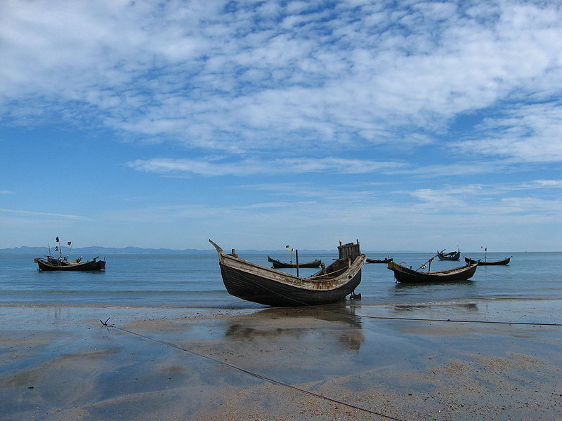
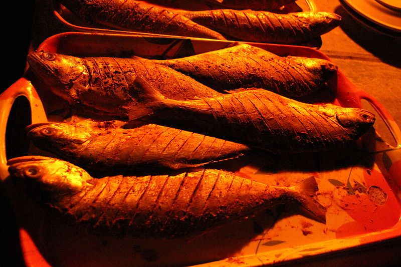
their hatchlings are often distracted by the twinkling lights along the beach. Fish, a few recently discovered, are being overfished. Every year the fishermen must venture further out to sea to get their catch. Most of them use motorless boats.
It is possible to walk around the island in a day because it measures only 8 km2 (3 sq. mile), shrinking to about 5 km2 (2 sq. mi) during high tide. The island exists only because of its coral base. The best weather is usually between November and February; this is the major tourist season. Between March and July, cyclones can strike.


